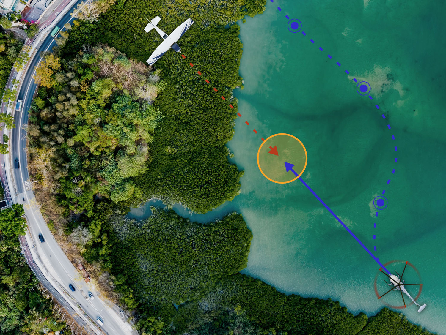
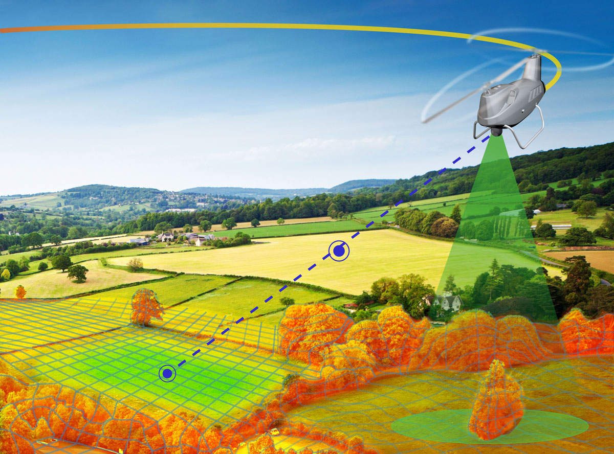
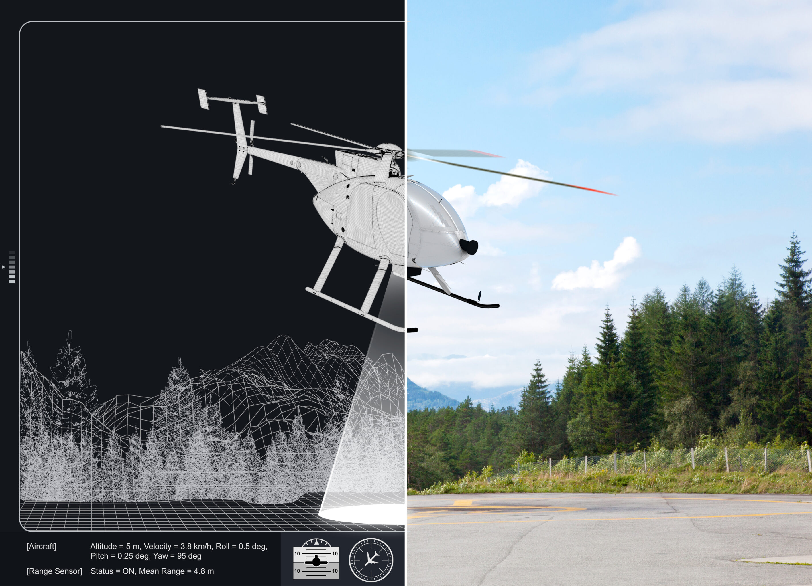
NGC’s technologies ensure safe operation despite uncertainties and surrounding obstacles.
Unmanned Aerial Vehicles (UAV) are more and more frequently used in challenging, unsafe, uncertain and remotely accessible environments.
Building on its recognised expertise in the development of reliable guidance, navigation and control systems for space applications, NGC offers autopilot, detect and avoid, landing zone assessment technologies and high-fidelity simulators for remotely piloted and semi-autonomous aircraft.


